The Best Map Apps for Getting Directions Somewhere

In a world where we rely heavily on technology to navigate our way through the day, maps apps have become an indispensable tool for getting directions. When you’re in a new city, or just trying to find your way around town, it’s important to have a reliable app that can guide you. In this article, we’ll take a look at some of the best map apps for getting directions, and why they stand out from the crowd.
Google Maps
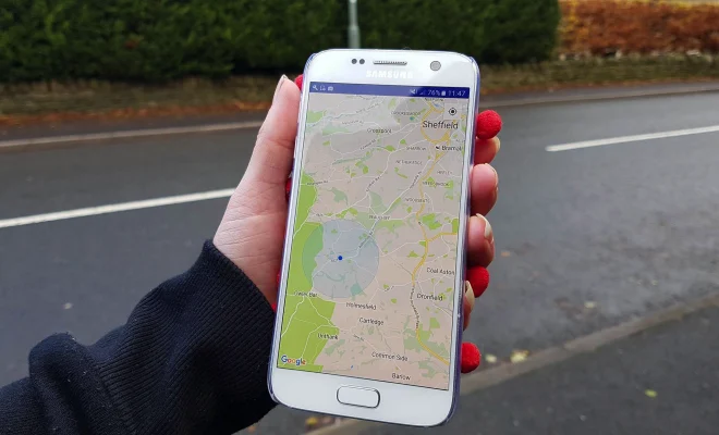
Google Maps is the go-to app for many people when it comes to getting directions. It’s available on both iOS and Android devices, and has a simple, user-friendly interface that makes it easy to use. One of its strengths is its accuracy – the app is updated regularly, so you can be sure that you’re getting the most up-to-date directions. It also offers real-time traffic updates, so you can avoid any congestion on the road. Google Maps also has a wide range of features, including the ability to save maps offline, and to search for nearby restaurants or attractions.
Waze
Waze is another great app for getting directions, and is particularly useful if you’re driving. It’s a community-based app, which means that users can report accidents, traffic jams, and other hazards in real-time. This makes it easier to avoid these obstacles and find alternative routes. Waze also has a fun element, with gamification features that allow users to earn points and participate in challenges. The app also offers voice-guided navigation, so you can keep your eyes on the road.
Apple Maps
Apple Maps has come a long way since its initial launch, and is now a reliable app for getting directions. It’s the default maps app on iPhones and iPads, so it’s likely that you already have it installed. Apple Maps offers turn-by-turn navigation, and also includes real-time traffic updates. It also integrates with Siri, Apple’s voice assistant, so you can ask for directions without having to touch your device.
Citymapper
If you’re travelling in a big city, Citymapper is the app you need. It’s available in a variety of major cities across the world, including London, New York, Paris, and Tokyo. Citymapper offers public transport options for each city, including buses, trains, and subways. It also includes real-time updates, so you can see exactly when your next bus or train is due. The app also offers walking and cycling directions, making it an all-in-one transport tool for city dwellers.
In conclusion, there are a variety of map apps available for getting directions, and each offers different features and benefits. Whether you’re driving, walking, or using public transport, there’s sure to be an app that suits your needs. So next time you’re heading somewhere new, be sure to download one of these apps and navigate your way with ease.


